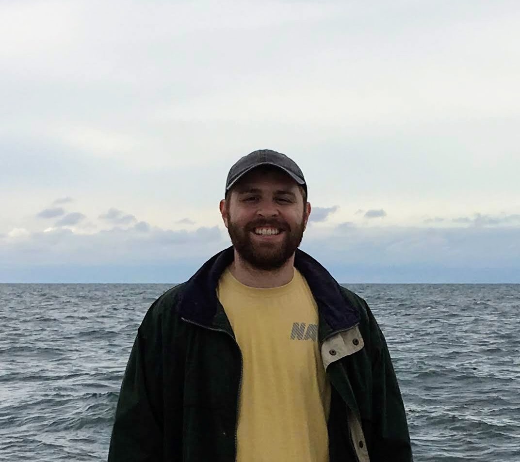
Dr. Robbie Iles
Senior Research Scientist
PhD, Oceanography - Texas A&M University.
MS, Oceanography & Coastal Sciences - LSU
BS, Geography - LSU
Louisiana State University
Louisiana Emerging Technology Center
Baton Rouge, LA 70803

Bio
Dr. Robert Iles is a senior research scientist at the LSU Stephenson Disaster Management Institute (SDMI), where he leads a program focused on cutting-edge technology and data science to support disaster response and emergency management. Dr. Iles received his PhD at Texas A&M where he researched AI methods in oceanography and earth science. He earned his Master's and Bachelor's at LSU, where he studied GIS, remote sensing, and emergency management.
Dr. Iles's doctoral research involved novel applications of AI/machine learning methods to underwater ocean buoyancy glider datasets and the development of new algorithms for characterizing dissolved organic matter as measured by fluorescence sensors. His MS research was focused on satellite oceanography, specifically ocean color analysis of sediment movement within an estuary. Prior to graduate studies, he worked as a GIS analyst for SDMI.
Research Interests
Dr. Iles's work combines AI/machine learning, GIS, and remote sensing to enhance disaster mitigation and response efforts. His research has advanced methods for pre-storm impact projections, enhanced post-disaster damage assessments, water quality monitoring, and school safety support for local first responders.
Dr. Iles also has long-term experience with GIS, which supplements his research interests in oceanography, particularly within the fields of ocean observing technology, data science, remote sensing, and marine geospatial intelligence, including the littoral zone.
Current and Select Publications
Iles IV, R.L., DiMarco, S. F., Gold-Bouchot, G., & Knap, A. H. (2025). Diagnosing coastal processes using machine learning and ocean buoyancy gliders. Limnology and Oceanography
Iles, R. L., Walker, N. D., White, J. R., & Rohli, R. V. (2021). Impacts of a major Mississippi River freshwater diversion on suspended sediment plume kinematics in Lake Pontchartrain, a semi-enclosed Gulf of Mexico Estuary. Estuaries and Coasts, 44, 704-721.
Meyer, M. A., Mitchell, B., Purdum, J. C., Breen, K., & Iles, R. L. (2018). Previous hurricane evacuation decisions and future evacuation intentions among residents of southeast Louisiana. International journal of disaster risk reduction, 31, 1231-1244.
Iles, R. L., DiMarco, S. F., Gold-Bouchot, G., Knap, A. H. Diagnosing coastal processes using machine learning and ocean buoyancy gliders. In review
Iles, R.L., DiMarco, S.F., Gold-Bouchot, G. New models for estimating fluorescent organic matter in river-dominated coastal zones. In progress
Iles, R.L., DiMarco, S.F., Gold-Bouchot, G., Knap, A.H. Influence of terrestrial and marine-derived dissolved organic matter on coastal oxygen dynamics: insights from the Texas-Louisiana shelf region in the northern Gulf of Mexico. In progress